Geographic Information Systems (GIS) have revolutionized land services, providing precise mapping, spatial analysis, and data-driven insights for infrastructure, energy, and real estate projects. GIS technology allows companies to visualize, analyze, and manage land assets efficiently, reducing risks and streamlining decision-making.
Percheron integrates advanced GIS mapping technology into its land services, ensuring that clients optimize site selection, mitigate risks, and achieve regulatory compliance. This guide explores the benefits of GIS in land services, best practices, and how Percheron leverages GIS for industry-leading solutions.
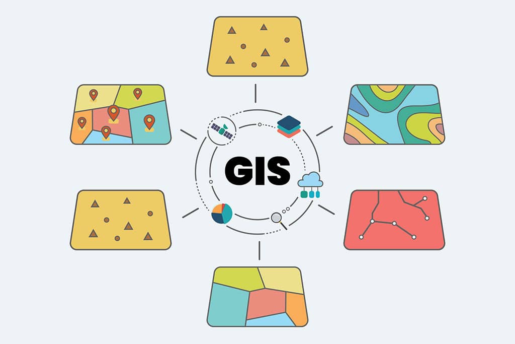
What Is GIS Mapping?
GIS (Geographic Information Systems) is a technology that captures, stores, and analyzes geographic data to create digital maps and visual representations.
Key Capabilities of GIS in Land Services:
- Spatial Analysis – Evaluates land suitability, ownership, and environmental risks.
- Data Integration – Combines satellite imagery, land records, and infrastructure data.
- Mapping & Visualization – Produces detailed maps for landowners, developers, and regulatory agencies.
Industries That Rely on GIS Mapping:
Energy & Utilities – Pipelines, power lines, and renewable energy projects.
Transportation & Infrastructure – Highway planning, railroads, and bridges.
Real Estate & Land Development – Site selection and zoning compliance.
Environmental Management – Conservation efforts and impact assessments.
Example: A power company planning a transmission line expansion can use GIS to identify the most efficient route, avoiding protected wetlands and high-density residential areas.
Benefits of GIS in Land Services
1. Improved Site Selection & Route Planning
- Identifies optimal locations for infrastructure projects.
- Minimizes environmental and landowner disruptions.
- Reduces costs associated with re-routing and legal disputes.
Example: A midstream pipeline company used GIS to map the best route for a new pipeline, reducing landowner conflicts by 30%.
2. Enhanced Data Accuracy & Land Ownership Verification
- Reduces errors in land records and boundary identification.
- Allows real-time updates to land and asset management databases.
- Ensures compliance with property rights and easement agreements.
Example: A company looking to acquire mineral rights can use GIS to confirm land ownership and avoid costly title disputes.
3. Environmental Compliance & Risk Mitigation
- Helps companies avoid environmentally sensitive areas.
- Ensures projects meet zoning and permitting regulations.
- Reduces legal challenges related to environmental impact.
Example: A solar energy company used GIS to map endangered species habitats, preventing permitting delays and legal challenges.
4. Efficient Landowner & Stakeholder Communication
- Provides visual representation of proposed projects.
- Helps address landowner concerns with clear mapping solutions.
- Improves collaboration with government agencies and investors.
Example: A real estate developer used GIS to illustrate land-use plans, securing faster zoning approvals from the local government.
Best Practices for Using GIS in Land Services
Conduct Comprehensive Data Collection
- Gather satellite imagery, topographical data, and property records.
- Use historical maps to track land use changes over time.
- Verify legal ownership records for ROW acquisition.
Integrate GIS with Other Land Services
- Combine GIS with title research, permitting, and feasibility studies.
- Use real-time tracking to monitor project progress.
- Leverage GIS data in negotiations to provide factual insights.
Utilize Predictive Analytics & AI in GIS
- Analyze historical data to predict land use trends.
- Use machine learning models to identify the best project routes.
- Reduce risks by predicting legal or environmental challenges before acquisition.
How Percheron Uses GIS for Land Services
Percheron integrates cutting-edge GIS technology to optimize land management and acquisition. Our GIS solutions include:
ROW Acquisition Mapping
- Identifies optimal pipeline, powerline, and transportation corridors.
- Helps avoid legal and environmental obstacles.
Land Ownership & Title Research
- Verifies landowners, boundaries, and existing easements.
- Prevents legal disputes over property rights.
Environmental & Regulatory Compliance Mapping
- Analyzes protected areas, flood zones, and zoning restrictions.
- Ensures projects align with federal, state, and local regulations.
Geospatial Analysis for Project Feasibility
- Provides risk assessments for new land acquisitions.
Supports permitting and lease negotiations with accurate land data.
Case Study: Using GIS to Optimize a Pipeline Route
An oil & gas company needed to lay a 200-mile pipeline but faced landowner disputes and environmental concerns. Percheron:
- Used GIS analysis to map alternative routes.
- Identified landowner boundaries and environmentally sensitive areas.
- Secured permits faster and reduced project costs.
The result: The company avoided costly litigation and completed the project on time and under budget.
Frequently Asked Questions (FAQs)
How does GIS improve land acquisition?
GIS provides real-time data on land ownership, environmental risks, and infrastructure, making acquisition more efficient and accurate.
What types of data does GIS analyze?
GIS incorporates topographic maps, satellite imagery, tax records, zoning laws, and environmental impact studies.
Can GIS help with regulatory compliance?
Yes, GIS can identify restricted land areas, ensure zoning compliance, and streamline permitting approvals.
How much does GIS mapping cost?
Costs vary based on project scope, data sources, and software requirements. Custom GIS solutions range from $5,000 for small projects to $100,000+ for large-scale infrastructure developments.
GIS technology is transforming land services, offering unparalleled accuracy, efficiency, and risk mitigation. Whether for pipeline routing, real estate development, or environmental assessments, GIS ensures smarter decision-making and regulatory compliance.
Percheron’s industry-leading GIS solutions help clients streamline land acquisition, reduce legal risks, and optimize project planning.
For expert GIS mapping services, contact Percheron today.