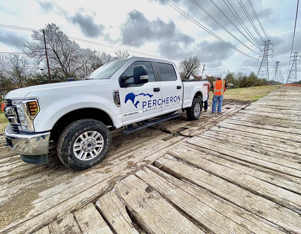
Technical Services
Survey
Successful surveying projects depend on accuracy, consistency, and reliable results. Percheron is one of the few names in the field that has the capabilities to make it happen. Our employees are licensed experts who not only represent a vast amount of industry knowledge but they also work to understand your specific business and project needs.
From right-of-way acquisition surveys to complex plant surveys, we do it all to ensure your project demands are consistently met. And because we employ extensive quality assurance processes and utilize the industry’s leading software and technology, we’re able to deliver superior results—even when deadlines are tight.
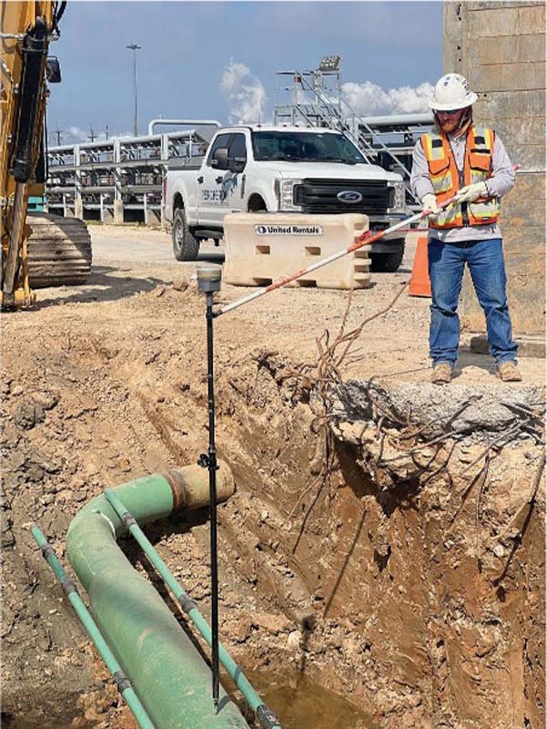
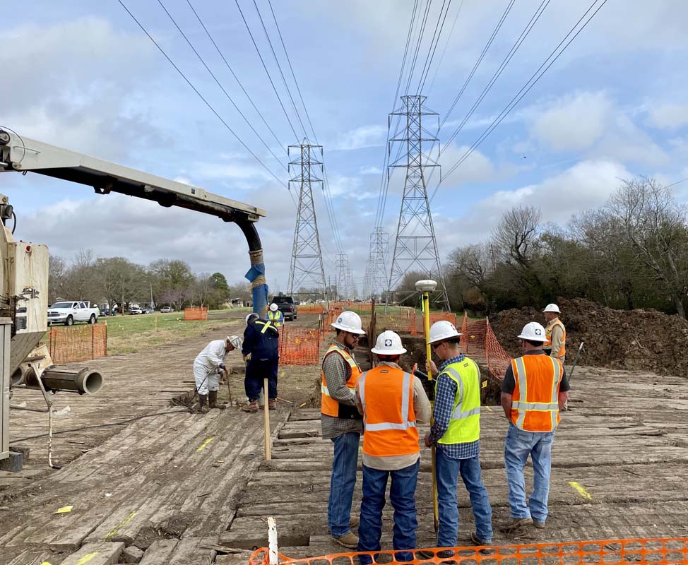
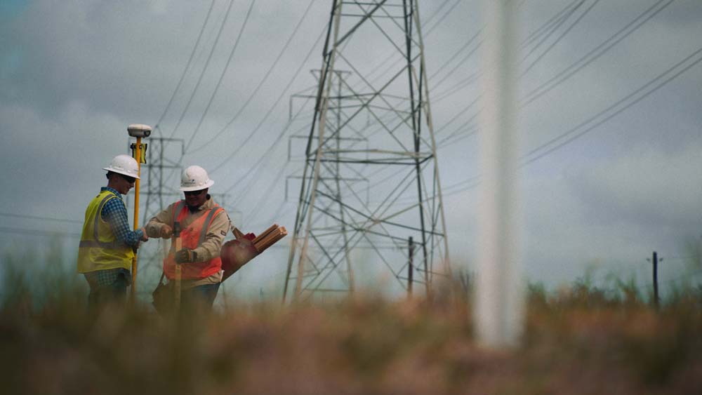
At Percheron, we utilize the latest technology, equipment, and software to help deliver superior results. Where others might cut corners, we continually invest in the most current resources available to the industry—such as Trimble RTK Global Positioning Systems and unmanned aerial systems. In addition, our technicians are experienced in the preparation of drawings in AutoCAD™, Skyline™ Sheet Generating software, and GIS. Our field and office staff are also able to prepare digital terrain models and right-of-way maps on difficult schedules utilizing our automated software.
Our survey team utilizes several industry-standard equipment platforms, software suites and tools to execute projects, including Autodesk AEC Design Suite, BlueSky, Global Mapper, Forefront Design Specialist - Plat Mapper, etc. We also use several in-house customized tools to help automate workflows. With these tools we cover a wide spectrum of survey services and deliverables.
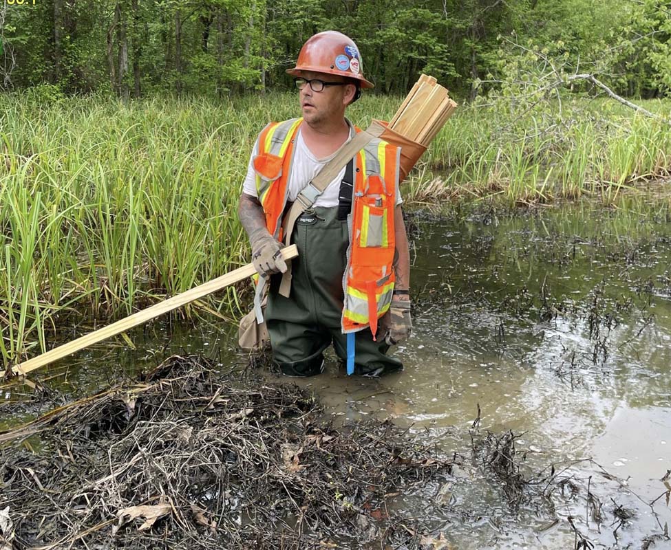
Percheron professionals also excel in managing the acquisition of high-resolution airborne laser mapping (LIDAR – Light Detection and Ranging) and aerial photogrammetric mapping for large projects.
Services Include:
Boundary Surveying - ALTA/NSPS Land Title
Topographic / Design Surveys
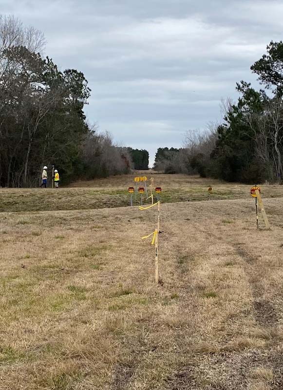
Corridor Route Surveys
Geodetic Control Surveys
Utility Designating and Locating Surveys
Hydrographic / Bathymetric Services
Boundary and Easement Plats
Plan and Profile Sheet Production
Site Planning and Layout
Grading and Drainage Plans
Construction Alignment Sheets
As-Built Alignment Sheets
Construction Site Specific Exhibits
Environmental and Non-Environmental Permits
3D Laser Scanning / High-Definition Surveying
BIM/Digital Twin Modeling
Detailed Plant / Facility Surveys
Construction Progress Asset Management
Construction Staking and Support
As-Built Surveys
Settlement and Monitoring Surveys
Operations and Maintenance Survey Support
Regulatory and Compliance Surveys
Client Testimonies
When I think of Percheron I think of reliability, responsiveness and a great work product! I also think of a team that goes above and beyond to provide us with the information we need to advance our projects.
Project Development
Renewable Energy Company

Projects
Case Studies
-
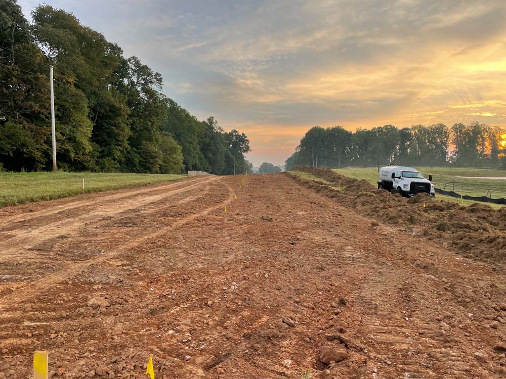
Interstate Pipeline Project
Percheron land and title team up to resolve title issues created by third party provider while Percheron survey surmounts multi contractor challenges on a multi-segment pipeline project in OK and TX. -
Northeast Greenfield Pipeline Project
Percheron provides land, survey, and title solutions for a 95-mile greenfield pipeline running through Pennsylvania, Ohio, and West Virginia. -
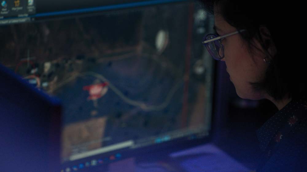
Unmanned Aerial Systems Encroachment Detection within Right of Way
Utilizing UAS technology, the Percheron Team identified vegetation and permanent fixtures encroaching on right of way, all without ever setting foot on the property.