Percheron’s team of FAA Licensed UAS pilots, combined with our Land Surveying Department’s full suite of traditional surveying services and Licensed Surveyors, offer a unique opportunity to integrate aerial and survey quality deliverables to our clients. From mission planning to raw collection, post-processing to QA/QC, and final deliverables, we do it all in-house!
Our team can more efficiently and accurately capture data to give you complete insight into your facilities, pipelines, electric transmission lines, or roadways. Our state-of-the-art fleet is capable of flying lower and employs higher resolution sensors for video, still images, and LiDAR imagery compared to traditional manned aerial options.
In many states across the US, aerial imagery, mapping, and even GIS are considered surveying, and only licensed survey companies can legally produce these deliverables. Percheron’s position as an integrated services company with survey licenses nationwide allows us to execute the work efficiently and legally.
By combining UAS technology and services with our full-service Land Surveying Department, Percheron provides industry-leading services to the pipeline, E&P, electrical T&D, solar, wind, cellular, federal/state/local agencies, and real estate development companies. For close-up inspections and surveys of fixed assets such as power and electrical infrastructure, cell towers, and facilities, Percheron’s UAS team can provide detailed deliverables faster and safer than traditional methods.
Recent Percheron UAS Regulatory Achievements
2023
FAA Non-Geographically Constrained BVLOS Performance-Based Approval
- Approved to conduct BVLOS operations anywhere in Class G airspace in the United States if the operations follow the parameters set in the wavier.
2022
FAA BVLOS Approval - Beyond Visual Line Of Site
- FAA geographically constrained waiver for exploratory project in West Virginia
FAA COA (Certificate of Authorization)
- Authorization to fly in military airspace
FAA, Department of Homeland Security, TSA Airline-Marshal Service, and Secret Service Approval
- Authorized to fly in Washington, DC FRZ (Federally Restricted Zone), “White House Airspace”
Percheron's licensed UAS and Survey Team can provide:
Airborne Survey and Mapping Including:
- Traditional Photogrammetry
- Airborne LiDAR
- Airborne Topographic Surveys
- Terrestrial LiDAR/Laser Scanning Surveys
- Mobile Mapping/LiDAR Surveys
- Large- and Small-Scale Volumetric Surveys
- Route Selection Assistance
- PHMSA/Regulatory Surveys
- Tank/Facility Documentation Surveys
- Aerial Reclamation Investigation and Survey Support
- UAS Equipment Feasibility and Case Studies
- UAS BVLOS and Sensitive COA Projects
- Blue/Green/NDAA compliant data collection available
Airborne Inspection and Documentation Including:
- Aerial Photo/Video Documentation
- Linear Corridor/ROW/Site Inspection
- Construction Monitoring
- Emergency and Disaster Response
- Civil Infrastructure Documentation
- Environmental Conditions Documentation
- Asset Documentation
- Pre- and Post-Construction Assessments
- Wireless Infrastructure Inspection
- Thermal Inspection
- Leak and Failure Detection
- Multi and Hyperspectral Data Acquisition
Questions? Email This email address is being protected from spambots. You need JavaScript enabled to view it. for more information.
Related Stories

BVLOS – A Cure All, or a Tool?
BVLOS stands for Beyond Visual Line of Sight. In practice, this means the concept of operations (CONOPS) contains an element that requires or is advantageous for the UA to be operated outside of the visual view of the RPIC and/or the VO. Why would I want to operate BVLOS? While this is not an all-inclusive list of the possible use cases for BVLOS, here are a few to spark your imagination for how BVLOS could help on your project. Read More >
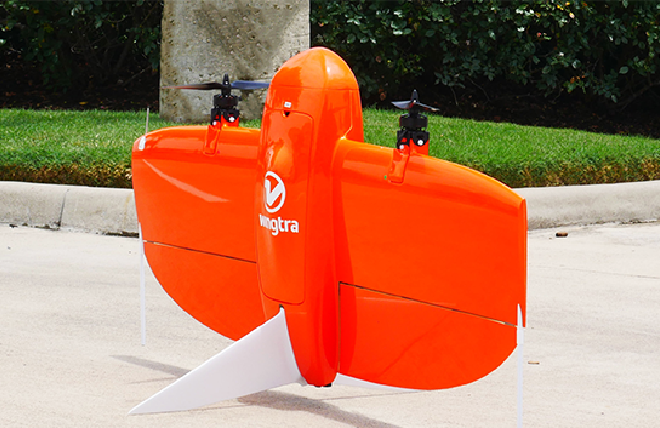
It's a Bird! It's a Plane! No, it's the WingtraOne!
In today’s climate, service companies are tasked with 3 “simple” requests for each project: Fast, Accurate, and Cost-Efficient. Seems “simple” enough…… But with complexities that go along with any land project, the key to truly realizing those 3 “simple” requests: Innovation. Read More >
Interested in more blogs from Percheron? Read More >