By Utilizing Leading-Edge Software, Equipment, and Technologies—Percheron Helps Ensure Accuracy, Efficiency, and Greater Project Precision.
Our survey team utilizes several industry-standard equipment platforms, software suites, and tools to execute projects, including Autodesk AEC Design Suite, BlueSky, Global Mapper, Forefront Design Specialist - Plat Mapper, etc. We also use several in-house customized tools to help automate workflows; these tools cover a wide spectrum of survey services and deliverables.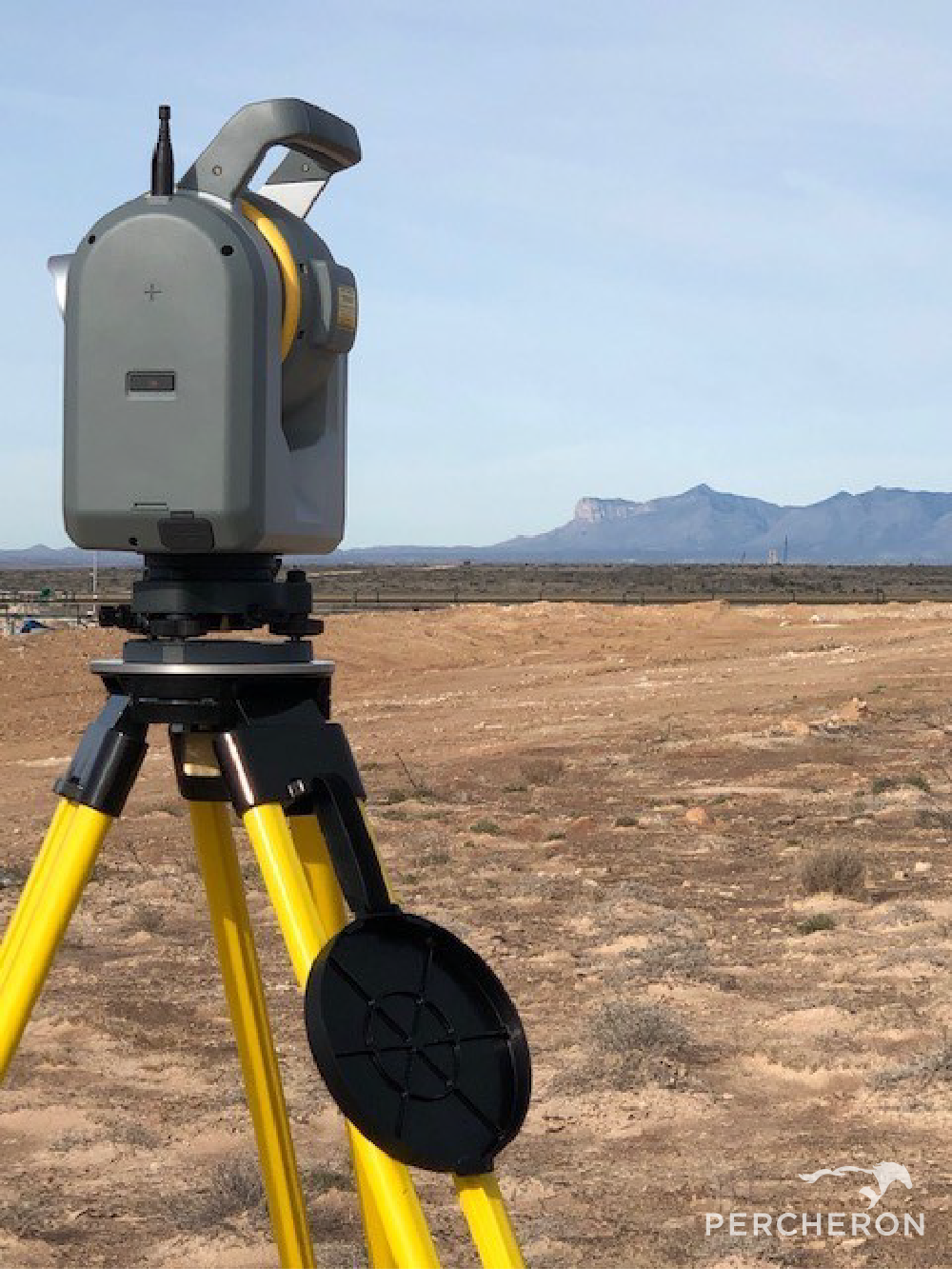
- Field Crews: Percheron field crews are outfitted with state-of-the-art equipment, including Trimble model R10-12 receivers, Radios Detection RD8100 pipeline locators, Reflectorless total stations, and all other relevant equipment to provide the full range of field services. We have several terrestrial scanning capable crews outfitted with the latest laser scanners and hybrid camera scanner setups and dedicated UAV crews to capture all aerial survey and inspection needs.
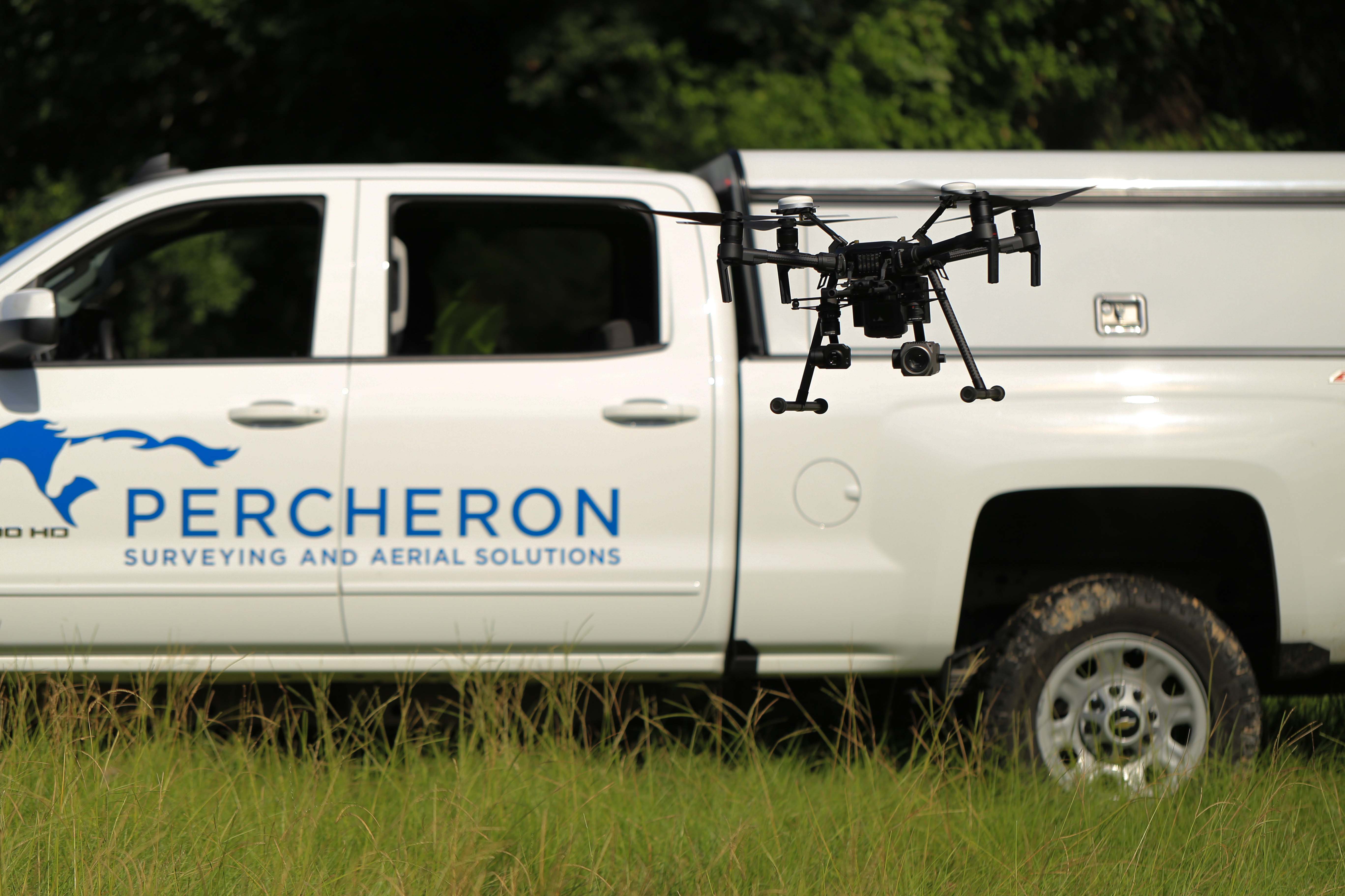
- UAS and Scanning: Percheron's Aerial Imagery team utilizes industry-standard software suites depending on the application, including Pix4D Capture/Cloud//Mapper/Survey/and Inspect, Trimble Business Center, Bentley MicroStation and Terrasolid, Global Mapper LiDAR, Trimble RealWorks. Percheron uses a wide range of sUAS platforms and manufacturers based on client needs, including quad and hex copters as well as traditional fix-wing UAVs and VTOLs. We also use Riegl and Phoenix aerial LiDAR sensors, full-frame Sony RGB cameras, 200x zoom inspection cameras, FLIR thermal cameras, and SlantRange and MicaSense multispectral, etc.
- Mapping team: Our mapping team utilizes a variety of programs to ensure the highest quality deliverables to each of our clients.
- Trimble Business Center, a Trimble field to finish Survey CAD software, helps deliver high-accuracy GNSS data.
- AutoCAD Civil3D, an Autodesk software that allows 2D & 3D design. This allows us to produce construction drawings, property plats, permits, and site-specific drawings.
- Skyline, a Bluesky software that creates accurate alignments sheets, with a Microsoft Access Database to accelerate workflow and makes changes faster.
- DASH a Bluesky software paired with a data management tool. This software includes QA/QC tools that ensure the reliability and verification of the data being collected. Orbital's Survey Module is a Bluesky software that streamlines pipeline survey management by helping to maintain quality, budget, and schedule without creating extra work for field crews. You can immediately evaluate imported data and track trends to know exactly what the survey teams are doing in the field. It allows you to set time and delivery expectations, track and assess data, and keep communication streamlined in real time.
- Plat Mapper a Forefront Design Specialist software that allows multiple plats to be cut at once for faster plat production.
- Global Mapper is a BlueMarble Software with abundant GIS tools for data creation, editing, and analysis.
- ArcMap, an Esri software with abundant GIS tools for data creation, editing, and analysis, allows the creation of quality drawing deliverables.